Go Transport
Travelling to a Better Future
Created by Team gaurav3468_9ba1
Marvelous Team Members
- Gaurav Negi(Team Leader)
Full Stack Web Developer - Hargun Singh Sahni
Full Stack Web Developer - Ashish Kumar
Full Stack Web Developer - Ayush Shankar
Front-End Web Developer
Unsafe and Time Squandering Transport System
- Safety
Safety of children and women is a big concern these days. People are reluctant towards public transport as they don't feel the comfort of it due to these safety concerns. People are afraid of the mishaps that might occcur there such as PickPockets,thefts,etc.People getting stalked is really a harassment these days that a lot of women in our country have to go through.
- Time Wastage
In todays' modern world, Time values the most. And Our transportation system doesn't seem to care much about it. Transportation system is technically-impaired and pretty much disabled in terms of meeting the needs of the modern world.
What is needed to be done?
- We are focussing on the need of safety in our transportation system. That's why we are taking the helping hand of Mapping Technologies along with some other user-interactive applications to improvise these situations so that the transportation system can be made safe for people of all genders and each age group.
To make it possible following are the details I would Present You With :
- SafeHouse
- This is a Map based solution in which if the user is struck at some location he is not feeling safe , he/she can use this utility to locate a nearby safehouse which would be located on the map so that cabs and other modes of transport could be boarded from there.
- SOS
- For Someone struck in trouble we have developed a Emergency button which on clicking will send the location co-ordinates of the user via mail along with the message that the user is in danger.
- Route Tracing
- We have used the Maps API in order to trace the route of the respective mode of transport.This Utility not only traces the route but can also help in booking the seats via the payment gateway. With the help of this user can book any seat of his choice and can easily check the route to be followed.
- Track Your Code
- In this Project we have deployed a JavaScript Based Maps API in order to trace the location of the mode of transport the user wants to trace.
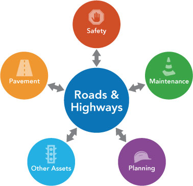
- Geographic Information System
- GIS offer transport planners a medium for storing and analyzing data on population densities, land uses, travel behavior, etc.Typical applications include highway maintenance, traffic modelling, accident analysis, and route planning and environmental assessment of road schemes.
Other useful User-Interactive Technologies
- QR Code Based Tickets
- Free Coins on Every Transaction
- Leaderboard based on the number of coins
- SocialPosts for Increasing awareness among Youth
- Interactive UI having animations and a Tic-Toe-Game
- ChatBot for Complaints
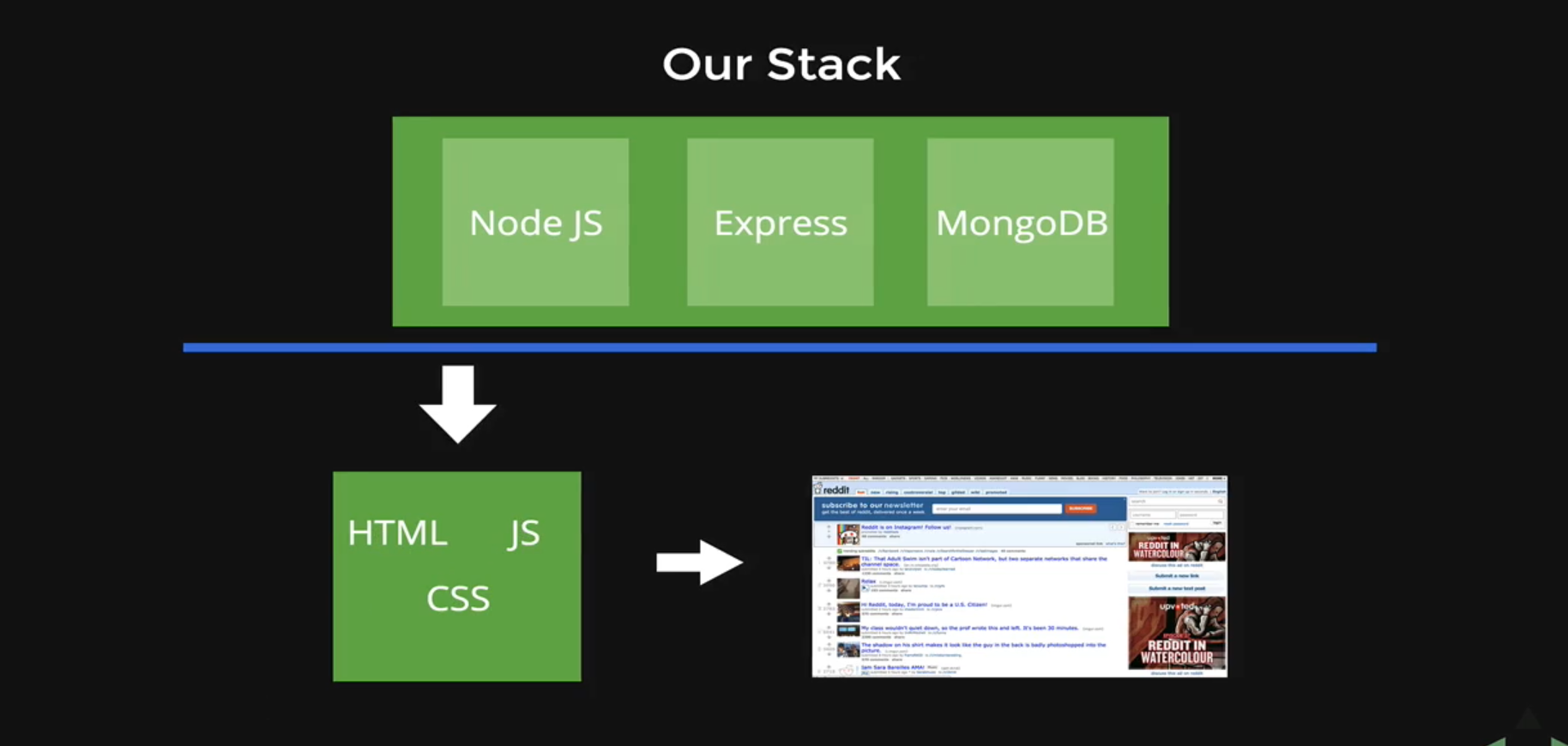
Technology Used to Make this Project Possible
A Special thanks to...


Prototype 1
Prototype 2
Prototype 3
Prototype 4
Thankyou
To NEC for this Opportunity
&
To All the Judges
Go Transport
Travelling to a Better Future
Created by Team gaurav3468_9ba1
